A branch of the River Nile could shed some light on how ancient Egyptians transported enormous stones to the Great Pyramid at Giza.
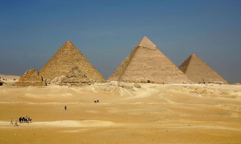
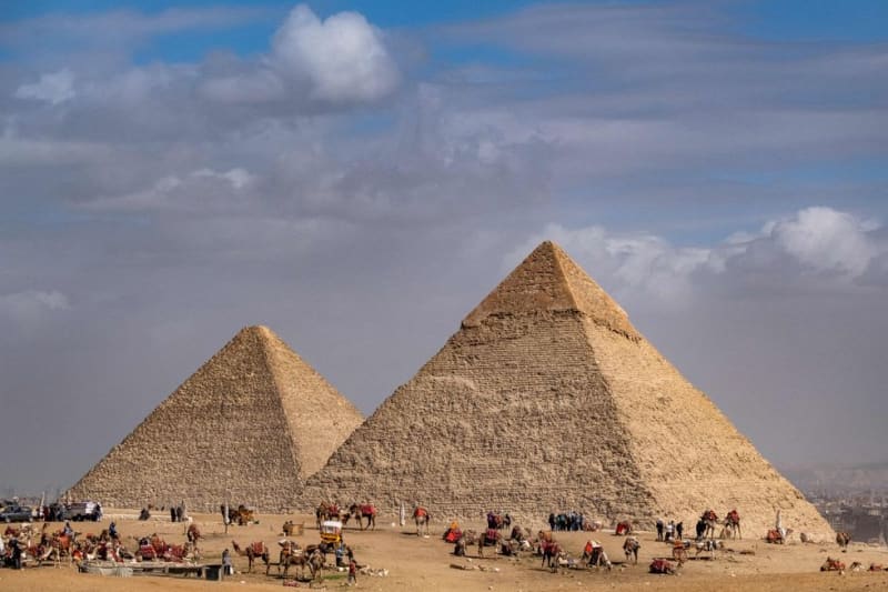
Egypt’s largest pyramid, dubbed as one of the seven ancient wonders of the world, is situated among a cluster of pyramids in the African country.
It has been a longstanding mystery how millions of tonnes of rock were transported to the site.
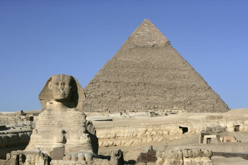
It is also not yet known how the Great Sphinx, on the Giza plateau, was built.
Experts from the University of North Carolina Wilmington named the arm of the river the “Ahramat Nile Branch”.
The Arabic translation of Ahramat means pyramids.
The scientists said: “We suggest that the Ahramat Branch played a role in the monuments’ construction and that it was simultaneously active and used as a transportation waterway for workmen and building materials to the pyramids’ sites.”
The so-called “Ahramat Nile Branch” was pivotal to construction and trade in the Old Kingdom.
LATEST DEVELOPMENTS:
Five temples - the Bent Pyramid, the Pyramid of Khafre, the Pyramid of Menkaure, the Pyramid of Sahure and the Pyramid of Pepi II - were “positioned adjacent to the riverbank of the Ahramat Branch”.
The study, published in the journal Communications Earth & Environment, claimed the branch ran close to the ancient Egyptian capital of Memphis.
It was reportedly barren for around 30 years around 4,200 years ago.
“[This] strongly implies that this river branch was contemporaneously functioning during the Old Kingdom, at the time of pyramid construction,” the team wrote.
Water and elevation levels showed the river was getting progressively lower throughout the Egyptian dynasties.
The scientists write: “The enormity of this branch and its proximity to the pyramid complexes, in addition to the fact that the pyramids’ causeways terminate at its riverbank, all imply that this branch was active and operational during the construction phase of these pyramids.”
“This waterway would have connected important locations in ancient Egypt, including cities and towns, and therefore, played an important role in the cultural landscape of the region.”
They added: “By understanding the landscape of the Nile floodplain and its environmental history, archaeologists will be better equipped to prioritise locations for fieldwork investigation and, consequently, raise awareness of these sites for conservation purposes and modern development planning.”