By Hans Nicholas Jong

JAKARTA — Briantama Asmara first visited the village of Kais in Indonesian Papua, on the island of New Guinea, in 2017 as an university researcher. The village lies two time zones away from Jakarta, the Indonesian capital, but it takes a four-hour flight, followed by a four-hour car ride and a three-hour boat trip to get there.
The Indigenous Kais people are named after the river that flows through their land, and rely on its water for bathing, washing, drinking and fishing. Back then, Briantama says, the river water was still relatively clean and the villagers weren’t complaining. But by the time he returned in 2022, there had been dramatic changes to the region’s watershed. Several companies had moved into the area and started clearing the forests for oil palm plantations.
At least one-quarter of the watershed, about 61,200 hectares (151,200 acres), has been allocated for three private oil palm concessions held by a single conglomerate. As of 2021, it had cleared nearly 10,000 hectares (25,000 acres) to plant oil palms.
“The villagers had started to feel the impact, such as flooding and a decrease in water quality,” Briantama, who now works as a GIS analyst at the World Resources Institute (WRI) Indonesia, told Mongabay. “The villagers go fishing every day. Now they have to go further into the river mouth to catch fish.”

Map of the Kais River watershed of West Papua, Indonesia.
Oil palm plantations have long been known to cause biodiversity loss when they’re established by clearing forests. A new study by Briantama and his colleagues now shows that their impacts reverberate even more widely, causing flooding and contamination of water sources for downstream communities.
In Kais, Briantama, by then a postgraduate student at the University of Massachusetts Amherst, found that the villagers blamed the expansion of oil palm plantations for an increase in flooding and decline in water quality. But there was little publicly available data to confirm the link, given the remoteness of the area.
So he decided to focus his studies on the Kais River watershed with the help of his adviser, Timothy Randhir, a professor of environmental conservation at the university. Their study, published recently in the journal Science of the Total Environment, used the widely recognized Soil and Water Assessment Tool, or SWAT+, to assess the historical changes in water balance and water quality in the Kais River watershed.
They fed the SWAT+ model data on land cover, soil, elevation, stream networks and climate, and found that surface water runoff in the watershed had increased by 21% from the time before the plantations were established, while sediment yields had increased by 16.9%.
The increase in surface runoff resulted in the probability of flooding increasing nearly fivefold, they concluded. That’s because oil palms, especially when they’re young, are nowhere near as good at retaining water as the forest trees they’ve replaced, Briantama said.
“If the forests are still intact, when it’s raining, the water doesn’t immediately go to the ground. It will be held off by the leaves, canopies and stems,” he said. “But oil palm trees tend to have little canopy. When they’re still young, the canopy is not large enough to stave off rain, especially in Papua, which has quite high rainfall. That’s why there’s larger surface runoff and there’s more frequent flooding at the downstream level.”

Historical and projected land cover change of the Kais River watershed in Papua.
Polluted water
The increases in runoff and sedimentation also harm water quality downstream, the researchers found. Levels of nitrogen and phosphorous in the watershed area increased by 78% and 144% respectively after the plantations’ establishment, likely the result of soil and agrochemicals being washed from the plantations.
In this particular region, oil palm plantations have reported a much high level of fertilizer use annually, at about 700 kilograms per hectare, or 625 pounds per acre. This is far more intensive than what’s considered the ideal amount of fertilizer for peatland soil, which is 148 kg/hectare (132 lbs/acre).
The research found that during flooding seasons, the nitrogen and phosphorous levels reached levels that would be harmful to human health if consumed. A 2021 third-party audit of the water quality in the Kais River in 2021, done as part of the application process for certification by the Roundtable on Sustainable Palm Oil (RSPO), also found water pollution in excess of the prescribed safe standard.
The high levels of oxygen-depleting matter in the water samples could point to fertilizer runoff or the draining of peatland to establish the plantations. But none of this information is making it out to the Indigenous communities living the downstream of the plantations, even though they’re the ones most affected the planting activity, the researchers said.
“The downstream Indigenous people who rely on the rivers and the streams in the watershed are highly vulnerable,” Randhir said. “They are bearing all the environmental and public health costs, while the international palm oil companies are reaping the rewards.”

A newly opened oil palm plantation site. Image by Asrida Elisabeth/ Mongabay Indonesia.
Mitigation plan
Without any intervention, the plantations are set to continue to expand, as there’s still lots of pristine forest left in the concessions that can be legally deforested. This will inflict further damage to the watershed area, although the worst effects on water quality will moderate somewhat, the research found.
Even if rainfall declines in the future, there will still be more runoff due to the expansion, the researchers predicted, adding there needs to be a plan to mitigate the impact on the watershed area.
The researchers noted that the plantations have developed a water management plan to comply with the RSPO’s water quality standards. But to guarantee the improvement of the watershed area, it’s important for such a plan to include the management of a buffer zone along the riverbanks, since the planted area currently runs right up to the river’s edge. The researchers said there also needs to be mitigation of surface water runoff, particularly in areas prone to floods.
The plan should also entail a limit on the use of pesticides, especially during periods of flooding, and continuous water quality monitoring, they added.
And crucially, the plan should be properly communicated to the Indigenous peoples living there, since the extent of the impacts, such as river pollution, has never been fully disclosed to the affected communities.
For one thing, the Kais villagers weren’t aware that the plantations used highly toxic pesticides like paraquat, Briantama said. Paraquat, which has been linked to the development of Parkinson’s disease, is banned in more than 50 countries.
The study’s findings should encourage the plantation operators to be more transparent, especially towards the affected communities, Briantama said. Failure to do so will further harm the watershed area and the communities, he warned.
“If the expansion [for palm oil] becomes more massive, it’ll be more difficult for the communities living in the river downstream to get access to clean water,” he said. “Their houses at the riverbanks will be flooded, and they will be forced to migrate further from the river.”
Citations:
Asmara, B., & Randhir, T. O. (2024). Modeling the impacts of oil palm plantations on water quantity and quality in the Kais River Watershed of Indonesia. Science of The Total Environment, 928, 172456. doi:10.1016/j.scitotenv.2024.172456
Comte, I., Colin, F., Grünberger, O., Whalen, J. K., Harto Widodo, R., & Caliman, J.-P. (2015). Watershed-scale assessment of oil palm cultivation impact on water quality and nutrient fluxes: A case study in Sumatra (Indonesia). Environmental Science and Pollution Research, 22, 7676-7695. doi:10.1007/s11356-015-4359-0
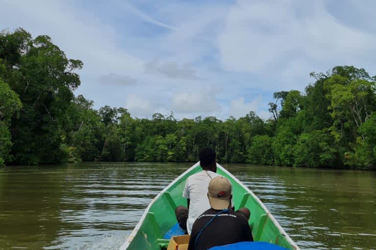
Banner image: Indigenous Papuans travel by boat to Waimon village in West Papua province. Image by Hans Nicholas Jong/Mongabay.
FEEDBACK: Use this form to send a message to the author of this post. If you want to post a public comment, you can do that at the bottom of the page.
This article was originally published on Mongabay