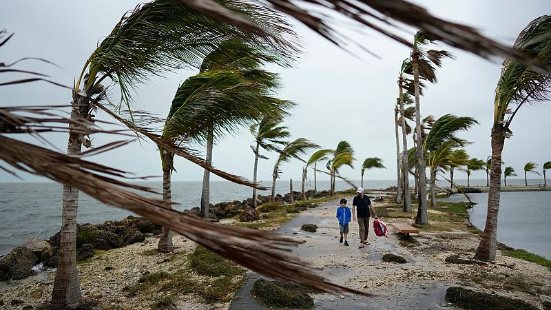
This year’s Atlantic hurricane season could bring as many as seven major hurricanes, US government forecasters have said.
The National Oceanic and Atmospheric Administration (NOAA) is predicting above-normal hurricane activity in the Atlantic basin this year. It says there is an 85 per cent chance of an above-average season from June to November.
A total of 17 to 25 named storms have been forecast. It is the highest number of storms the agency has ever projected in its season forecast, with 14 predicted in an average year.
Between 8 and 13 are likely to become hurricanes with windspeeds of 119 kilometres per hour or higher.
Up to seven could become category three or above hurricanes with winds reaching 179 kilometres per hour or higher - normally there would be around three of these in a season.
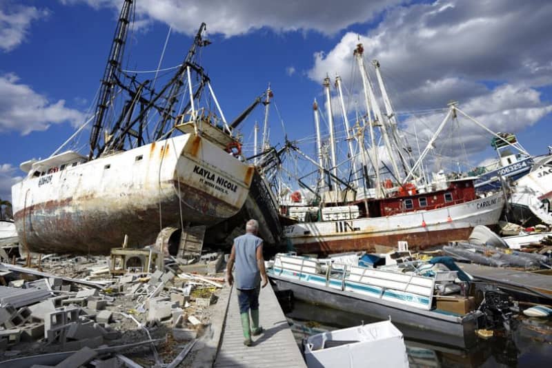
Last year's Hurricane Idalia - the costliest climate disaster to hit the US in 2023, leaving thousands homeless - was a category four with peak wind speeds of 215 km/h.
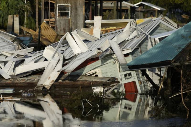
Hurricane Ian which ripped through Cuba, Florida and the Carolinas in 2022, killing 161 people, was a category five storm with sustained windspeeds peaking at 260km/h.
Forecasters say they have 70 per cent confidence in these ranges.
“This season is looking to be an extraordinary one in a number of ways,” NOAA administrator Rick Spinrad said at a press conference.
“All the ingredients are definitely in place to have an active season,” National Weather Service Director Ken Graham added.
“It’s a reason to be concerned, of course, but not alarmed.”
Why will this year’s Atlantic hurricane season be ‘extraordinary’?
The NOAA says a confluence of different factors is contributing to their prediction of an above-average hurricane season this year.
This includes near-record warm ocean temperatures in the Atlantic, the end of the strongest El Niño climate phenomenon ever observed and the developing La Niña in the Pacific as well as reduced Atlantic trade winds and less wind shear.
Together, these factors all tend to favour tropical storm formation in the Atlantic. Abundant ocean heat in the tropical Atlantic Ocean and Caribbean Sea, for example, creates more fuel for the development of storms.
The agency says that this hurricane season has the potential for an above-normal West African monsoon, which can produce waves that seed some of the strongest and longest-lived hurricanes.
With human-caused climate change warming oceans around the world and melting ice on land, rising sea levels increase the risk of storm surges, too.
“Sea level rise represents a clear human influence on the damage potential from a given hurricane,” the NOAA says.
Earlier this year, some scientists argued that a category six was now needed to account for the strength of climate-change induced hurricanes.
With studies showing tropical storms are becoming more intense, the traditional five-category Saffir-Simpson scale, developed more than 50 years ago, may not show the true power of the most muscular storms.
Five monster storms in the Pacific since 2013 have had winds of 308 kilometres per hour or higher that would have put them in the new category. And though no Atlantic hurricane has reached this threshold yet, experts say as the world warms the environment for such a storm grows more conducive.