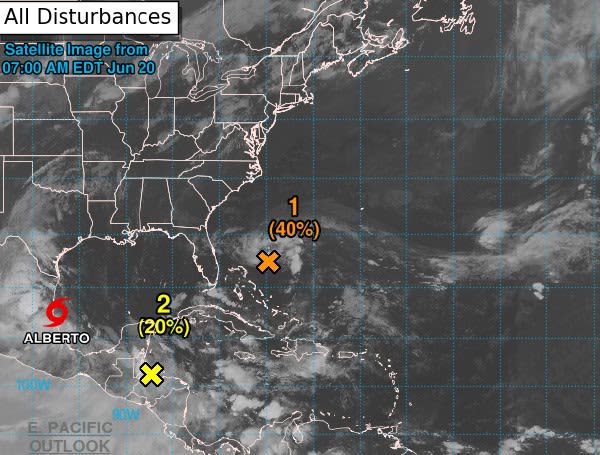
As the first official day of summer arrives, Central Florida is bracing for a wetter weekend due to a weak tropical wave designated as Invest 92-L.
This disturbance is currently located off the coast of Florida and is expected to approach the northeast coast by Thursday afternoon and into Friday, increasing shower coverage for the region.
While the National Hurricane Center gives this system a low chance of development into a tropical depression, the wave is already bringing increased moisture and rough surf to the area.
Read: AAA Predicts Record-Breaking Independence Day Travel In Florida And Nationwide
Rain chances will remain minimal on Thursday afternoon, ranging from 10% to 30%, as a sliver of dry air filters in ahead of the low. However, showers are expected to increase to 40% to 60% later into Thursday evening and early Friday as the low approaches the coast.
In addition to the rain, residents can expect breezy to gusty winds, with speeds reaching 15-20 mph and gusts up to 20-30 mph. Beachgoers and boaters are advised to exercise caution, as hazardous conditions are expected, and there is a high risk of rip currents and high surf advisories in place.
Temperatures will remain steady in the upper 80s to low 90s throughout the weekend, typical for this time of year. While Invest 92-L is not expected to develop into a significant storm, residents are encouraged to stay updated on the latest forecasts and be prepared for potential changes in weather conditions.
__Help support the Tampa Free Press by making any small donation by clicking here.__
Android Users, Click To Download The Tampa Free Press App And Never Miss A Story. Follow Us On Facebook and Twitter.Sign up for our free newsletter.