By Petmal / Getty Images
If we know the exact amount of carbon that the trees in a forest can contain, we can potentially optimize measures to fight global warming. This is the ambitious solution proposed by Danish scientists who have just developed a tool to map over 350 million trees in Rwanda.
If we know the exact amount of carbon that the trees in a forest can contain, we can potentially optimize measures to fight global warming. This is the ambitious solution proposed by Danish scientists who have just developed a tool to map over 350 million trees in Rwanda.
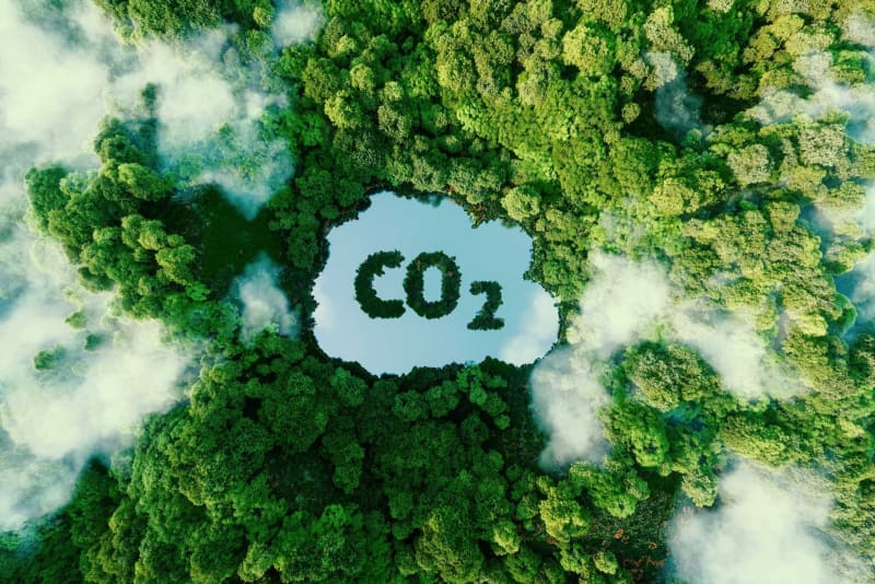
It's well known that forest ecosystems play an important role in absorbing carbon and combating climate change. But the amount of carbon dioxide that trees can absorb remains difficult to assess accurately, something that poses an obstacle to the effectiveness of concrete measures taken to reduce global warming. Researchers from the University of Copenhagen, in collaboration with other international scientists, have developed a new tool aimed at finding a solution to this problem.
The scientists have developed a nationwide mapping system to accurately measure the carbon content of trees. This new device is being tested in Rwanda, an East African country with rich forest biodiversity (savannah, woodland, rainforest, etc.).
What's unique about this method is that it can quantify the CO2 content of each tree within the same ecosystem. The tool relies on databases and satellite and aerial images to create estimations of stem diameter from mapped crown size and then create estimations of "aboveground carbon stocks for each tree."
In total, over 350 million trees in Rwanda were mapped. According to their research, published in Nature Climate Change, 72% of these trees were in agricultural and savanna lands, 17% in plantations. Although they represent only 11% of the total number of trees, those in natural forests alone account for about 51% of the country's national carbon stock.
“This suggests that conservation, regeneration, and sustainable management of natural forests is more effective at mitigating climate change than plantation," outlines Maurice Mugabowindekwe, PhD researcher, Department of Geosciences and Natural Resources Management (IGN), University of Copenhagen and main study author.
The team of scientists behind the project is continuing the research in Rwanda and is currently working on an updated map based on more recent aerial images (2019). The tool has also already been tested in Tanzania, Burundi, Uganda and Kenya. "We hope that this method will establish itself as a standard, thereby enabling better comparisons between countries," noted Maurice Mugabowindekwe in a press release.