A strong cold front triggered a line of rain showers and gusty winds Wednesday night, bringing brief downpours and knocking out power to tens of thousands of utility customers across New Jersey.
As of 8:50 p.m. Wednesday, nearly 5,600 homes and businesses were without power statewide, according to NJ Advance Media’s power outage tracker, which shows the latest data reported by area utility companies. The outage number soared to 27,850 by 10 p.m. — then up to 36,730 by 10:20 p.m. and then grew to over 43,500 as of 11 p.m.
The largest clusters of power outages were concentrated in Middlesex County earlier in the night, with more than 2,400 outages reported in Monroe Township and about 350 in Edison and South Plainfield. Thousands of outages were reported later in the night in several areas of Gloucester, Hunterdon, Monmouth, Morris, Somerset, Sussex, Union and Warren counties as the winds ramped up.
Wind gusts as high as 50 to 55 mph were reported Wednesday night in several areas of the Garden State — with a peak gust of 58 mph clocked in Keyport in Monmouth County, a gust of 52 mph recorded at Newark Liberty International Airport in Essex County, and gusts of 51 mph reported in Vernon Township in Sussex County and Perth Amboy in Middlesex County, according to wind data from the Rutgers NJ Weather Network and the National Weather Service.
A gust of 50 mph was clocked in Lumberton in Burlington County, a 48 mph gust was recorded at the Atlantic City Marina in Atlantic County, a 47 mph gust was reported in Pennsauken in Camden County, and a 45 mph gust was detected in Little Egg Harbor Township in Ocean County.
Forecasters say strong winds were generated by a clash in the atmosphere between a warm front that moved through our region Wednesday morning and afternoon — which brought air temperatures in the low 60s — and a cold front that is pushing much colder air in from the west Wednesday night.
Strong thunderstorms that were predicted earlier in the day have not materialized, as of 8:20 p.m. Wednesday. But strong gusty winds are expected to continue through late Wednesday night, and wind advisories are active in all of the state’s 21 counties until 4 a.m. Thursday.
After the cold front passes, temperatures will rapidly drop into the upper 30s after midnight, then down to the upper 20s to low 30s by early Thursday morning — with gusty winds making it feel as cold as the upper teens to low 20s in many areas of New Jersey.
Latest power outages
!function(){"use strict"; window.addEventListener('message', function(e) { const iframe=document.getElementById("outage-app"); if(e.data[0] === "setHeight") iframe.setAttribute('height', e.data[1]+'px'); }, false); }();
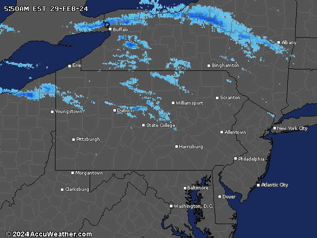
Current weather radar
Thank you for relying on us to provide the local weather news you can trust. Please consider supporting NJ.com with a voluntary subscription.
Len Melisurgo may be reached at LMelisurgo@njadvancemedia.com or on X at @LensReality.